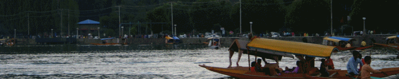
Maps of
Srinagar,
Kashmir, India
(Click on any image to display full size)
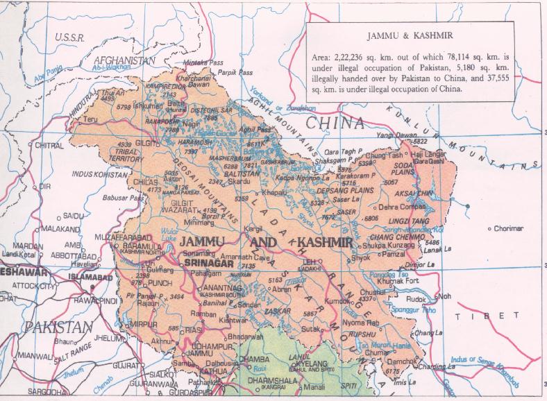
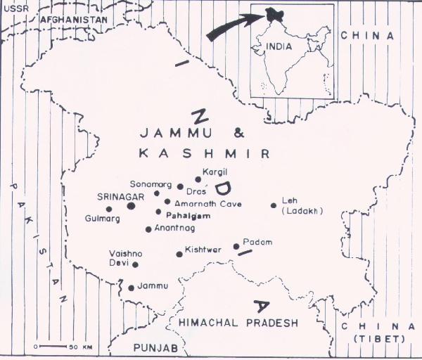
The Maps of Jammu and
Kashmir.
Area: 2,22,236 sq. kms.
out of which 78,114 sq. km. is under illegal
occupation of Pakistan,
5,180 sq. km. illegally handed over by Pakistan to
China,
and 37,555 sq. km. is under illegal occupation of
China.
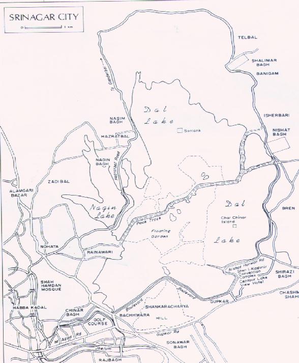
The Map of Srinagar city.
The Map of Srinagar city.
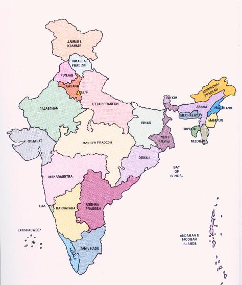
The Map of India.
The Map of India.
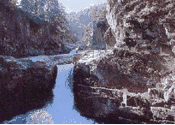
Maps of Ladakh Region
|